Map #34185

Description

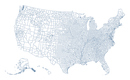
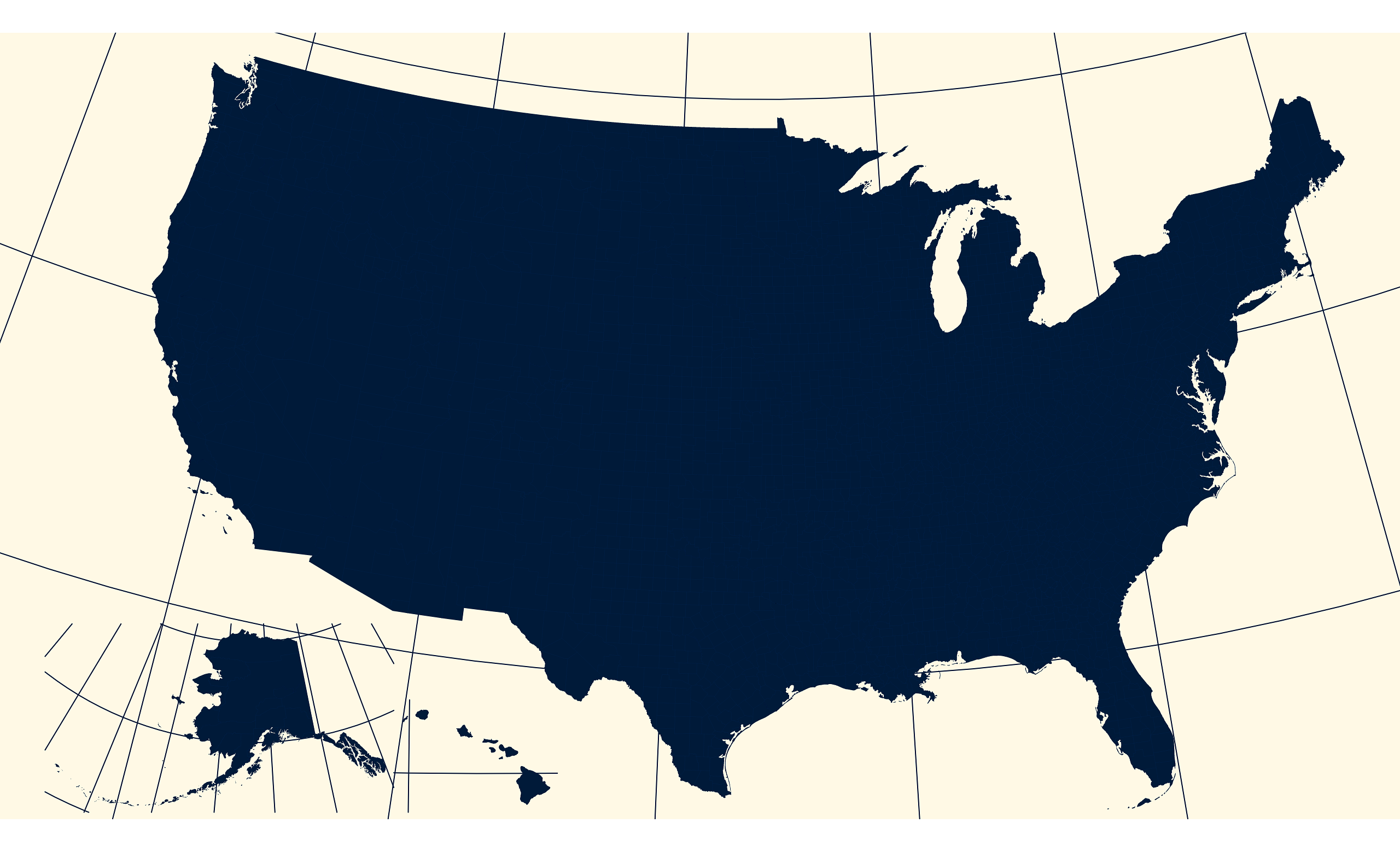
Albers Usa projection map of United States of America showing counties boundaries in night blue and whitened-beige

Colours

Projection

Albers Usa

Location

United States

Data source

geoBoundaries, United States Census Bureau, MAF/TIGER Database


Similar

Orthographic projection map of the World focused on United States in night blue and whitened-beige

#10983πŸ‡ΊπŸ‡Έ United States

Orthographic projection map of the World focused on United States in dim blue and dark powder

#85606πŸ‡ΊπŸ‡Έ United States

Albers Usa projection map of United States of America showing states boundaries in night blue and whitened-beige

#95102πŸ‡ΊπŸ‡Έ United States

Orthographic projection map of the World focused on United States in dark blue on transparent background

#102658πŸ‡ΊπŸ‡Έ United States

Albers Usa projection map of United States of America in dark blue on transparent background

#195438πŸ‡ΊπŸ‡Έ United States

Albers Usa projection map of United States of America in dim blue and dark powder

#207656πŸ‡ΊπŸ‡Έ United States

Albers Usa projection map of United States of America showing counties boundaries in blue and pastel amber

#427290πŸ‡ΊπŸ‡Έ United States

Albers Usa projection map of United States of America in blue and whitened-lime

#849401πŸ‡ΊπŸ‡Έ United States