Map #849401

Description

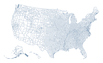
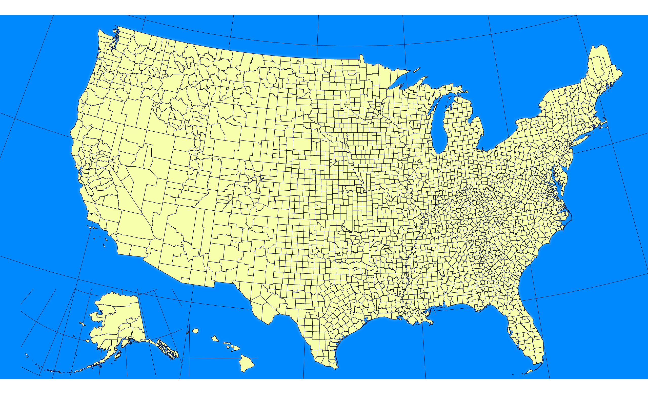
Albers Usa projection map of United States of America in blue and whitened-lime

Colours

Projection

Albers Usa

Location

United States

Data source

geoBoundaries, United States Census Bureau, MAF/TIGER Database


Similar

Orthographic projection map of the World focused on United States in whitened-azure and dim indigo

#6559πŸ‡ΊπŸ‡Έ United States

Orthographic projection map of the World focused on United States in indigo on transparent background

#262973πŸ‡ΊπŸ‡Έ United States

Albers Usa projection map of United States of America showing states boundaries in whitened-azure and dim indigo

#415328πŸ‡ΊπŸ‡Έ United States

Albers Usa projection map of United States of America showing states boundaries in night azure and dim indigo

#525256πŸ‡ΊπŸ‡Έ United States

Orthographic projection map of the World focused on United States in night azure and dim indigo

#526476πŸ‡ΊπŸ‡Έ United States

Albers Usa projection map of United States of America in indigo on transparent background

#543239πŸ‡ΊπŸ‡Έ United States

Albers Usa projection map of United States of America showing counties boundaries in whitened-azure and dim indigo

#648287πŸ‡ΊπŸ‡Έ United States

Albers Usa projection map of United States of America showing counties boundaries in night azure and dim indigo

#809604πŸ‡ΊπŸ‡Έ United States