
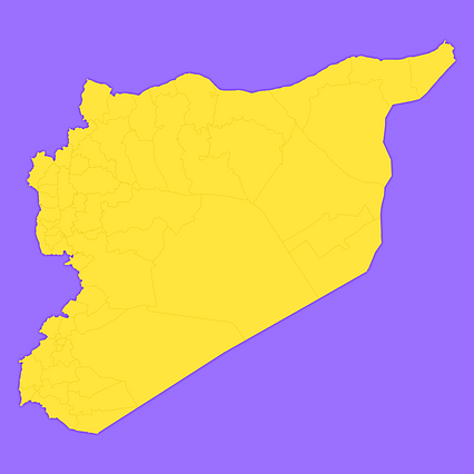
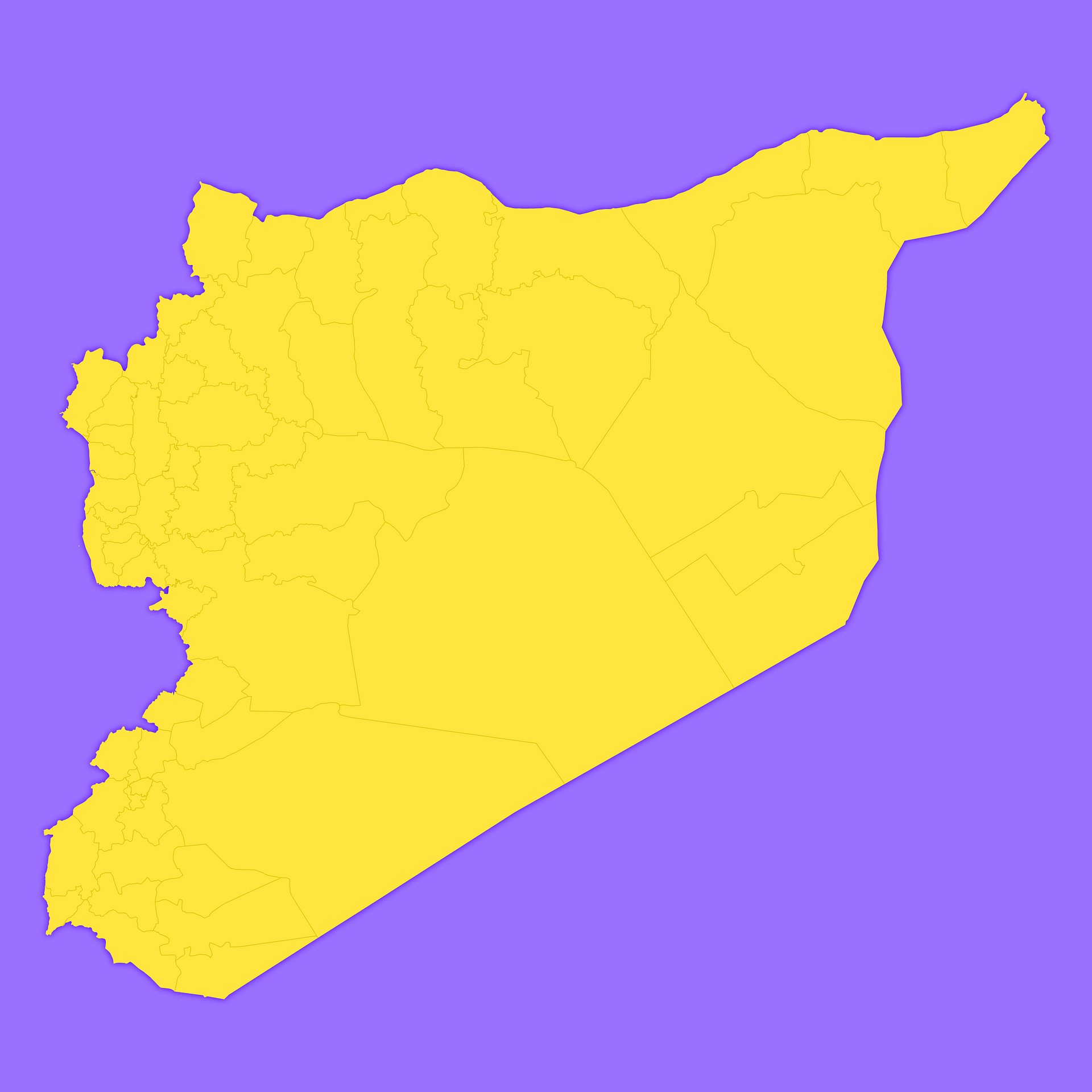
Map #423659
Download map
PNG format
Full (2560x2560)
SVG format
Scalable vector (any size)
Licence
 Licenced under a Creative Commons Attribution 4.0 International Licence
Free to copy and distribute.
Free for commercial and non-commercial use, but you must credit.
Attribution example:
Image source: SuperMap.World
Unlock this map
Access high definition downloads and full-use licence (no attribution required).
Description
Mercator projection map of Syrian Arab Republic showing district boundaries in violet and maize-yellow
Projection
Location
Similar

#24896🇸🇾 Syria

#72986🇸🇾 Syria
#79266🇸🇾 Syria

#170963🇸🇾 Syria

#198207🇸🇾 Syria

#373810🇸🇾 Syria

#511244🇸🇾 Syria

#598132🇸🇾 Syria