
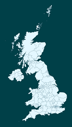
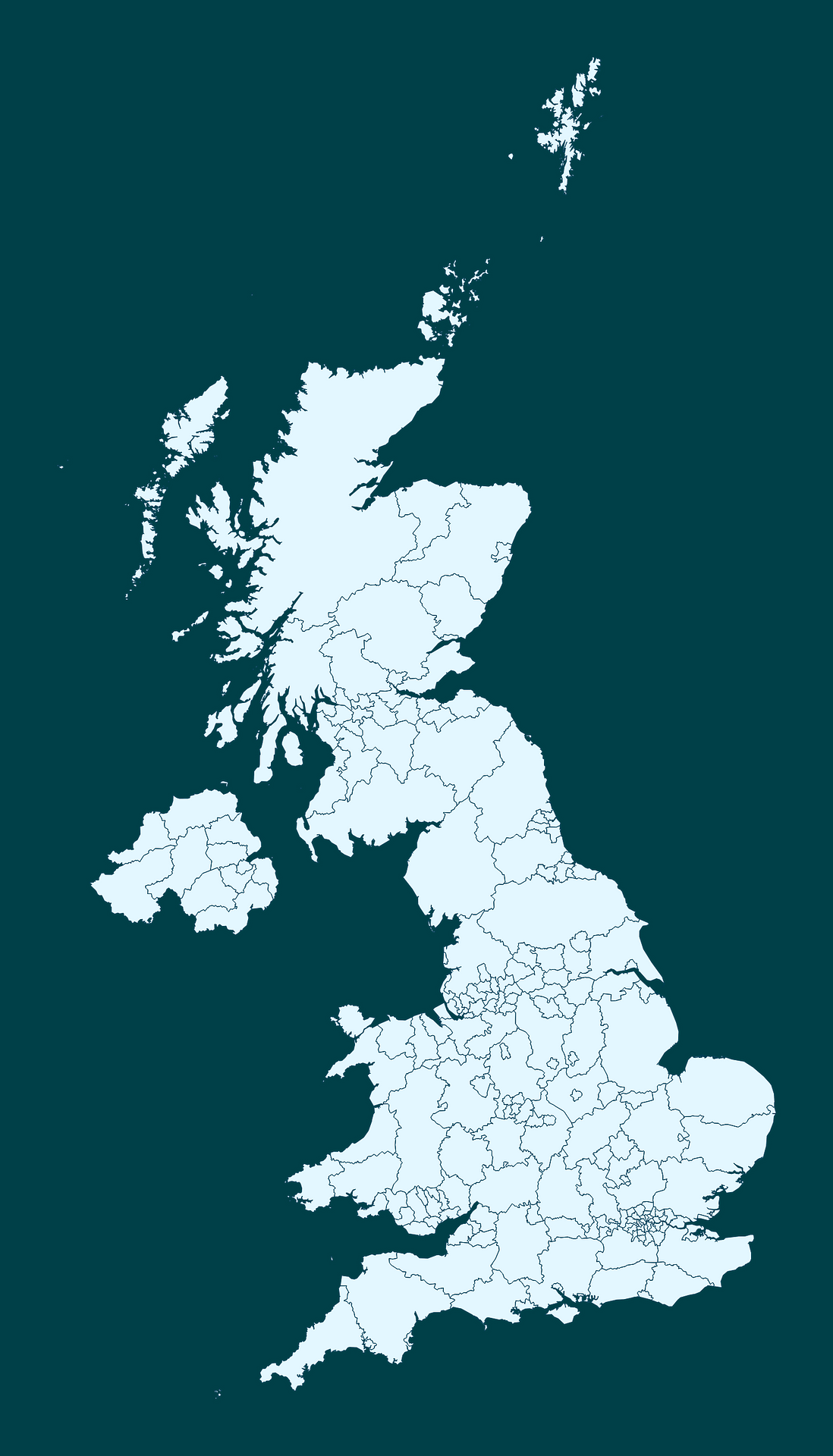
Map #483967
Download map
PNG format
Full (1464x2560)
SVG format
Scalable vector (any size)
Licence
 Licenced under a Creative Commons Attribution 4.0 International Licence
Free to copy and distribute.
Free for commercial and non-commercial use, but you must credit.
Attribution example:
Image source: SuperMap.World
Unlock this map
Access high definition downloads and full-use licence (no attribution required).
Description
Mercator projection map of United Kingdom in whitened-sky and dark powder
Projection
Location
Similar

#6122🇬🇧 United Kingdom

#127897🇬🇧 United Kingdom

#268908🇬🇧 United Kingdom

#293120🇬🇧 United Kingdom

#295984🇬🇧 United Kingdom

#300657🇬🇧 United Kingdom

#385116🇬🇧 United Kingdom

#427850🇬🇧 United Kingdom