Map #427850
Download map
PNG format
Full (1461x2560)
SVG format
Scalable vector (any size)
Licence
Licenced under a Open Data Commons Open Database License 1.0
- Free to copy and distribute
- Free for commercial and non-commercial use, but you must credit (Image: SuperMap.World, Data: geoBoundaries, Office of National Statistics Geography)
- Share-alike: if you publicly use any adapted version you must also offer that adapted work under the same licence
Unlock this map
Access high definition downloads and full-use licence (no attribution required).
Description
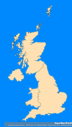
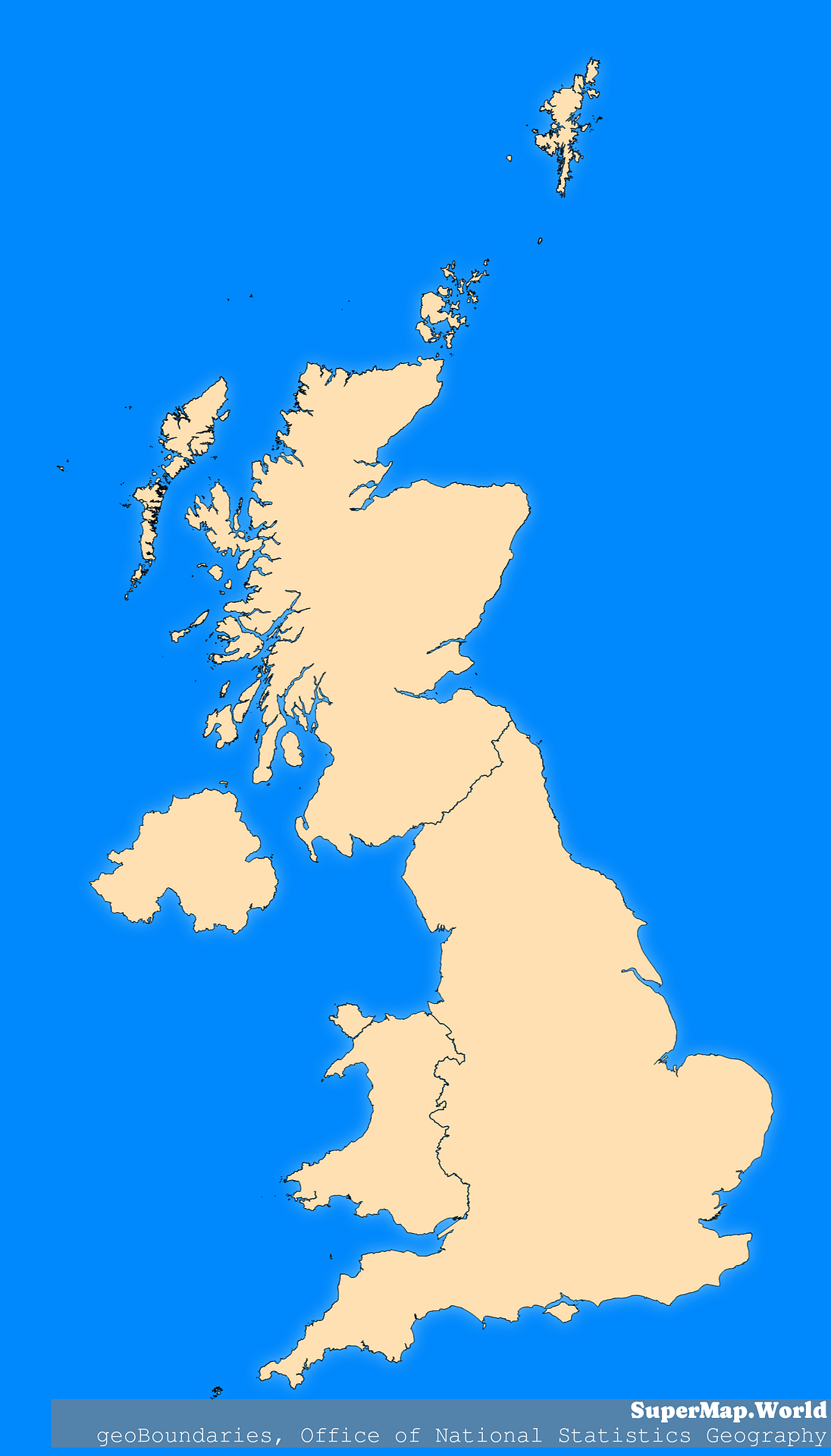
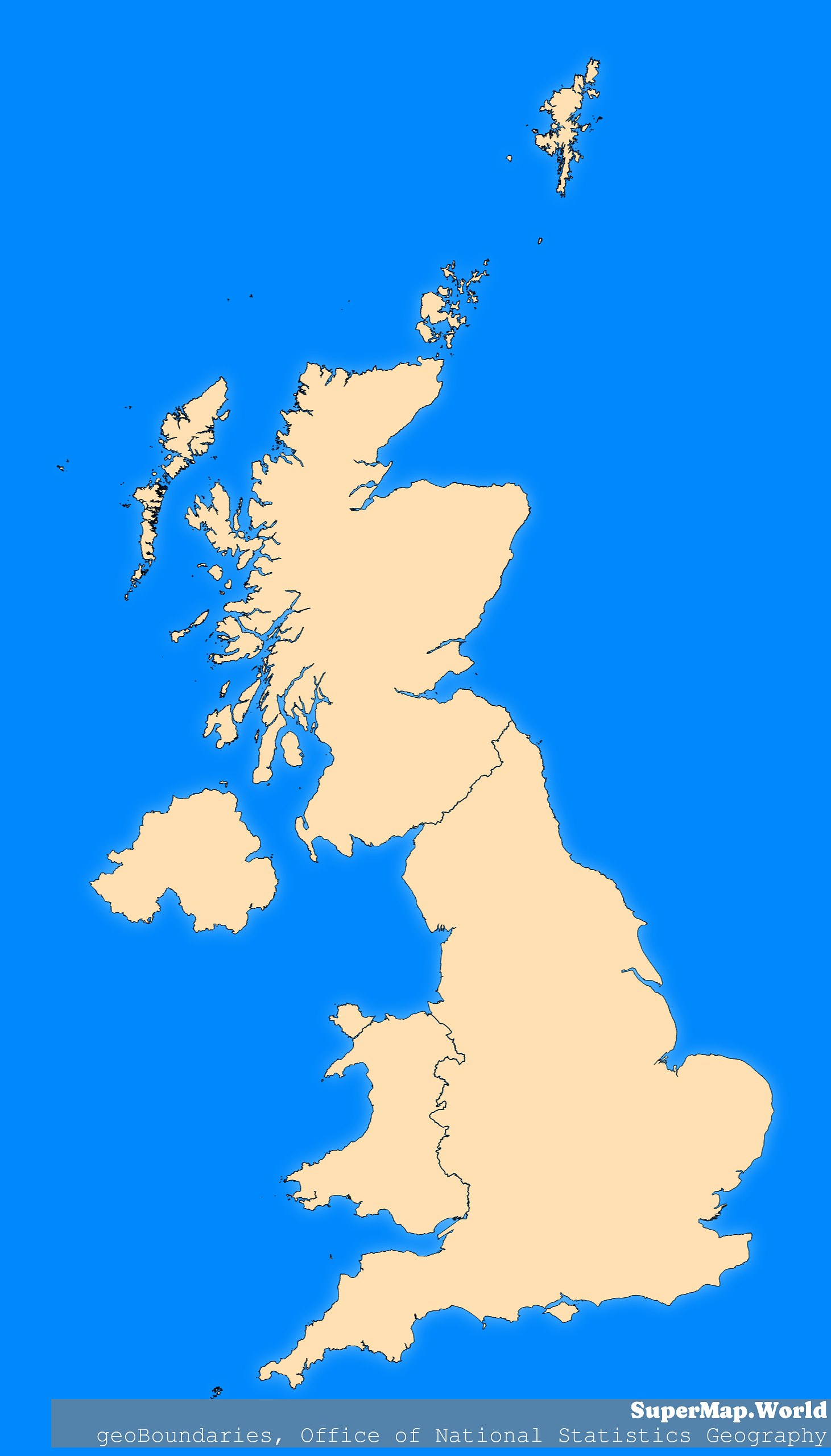
Mercator projection map of United Kingdom showing boundaries in blue and pastel amber
Projection
Location
Licence
Open Data Commons Open Database License 1.0
Similar

#207275🇬🇧 United Kingdom

#237696🇬🇧 United Kingdom
#364314🇬🇧 United Kingdom

#385116🇬🇧 United Kingdom

#408463🇬🇧 United Kingdom

#458928🇬🇧 United Kingdom

#462305🇬🇧 United Kingdom

#606871🇬🇧 United Kingdom