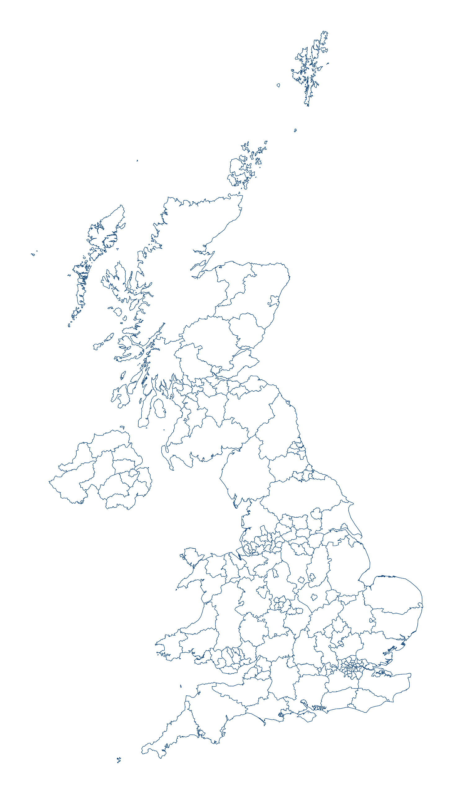
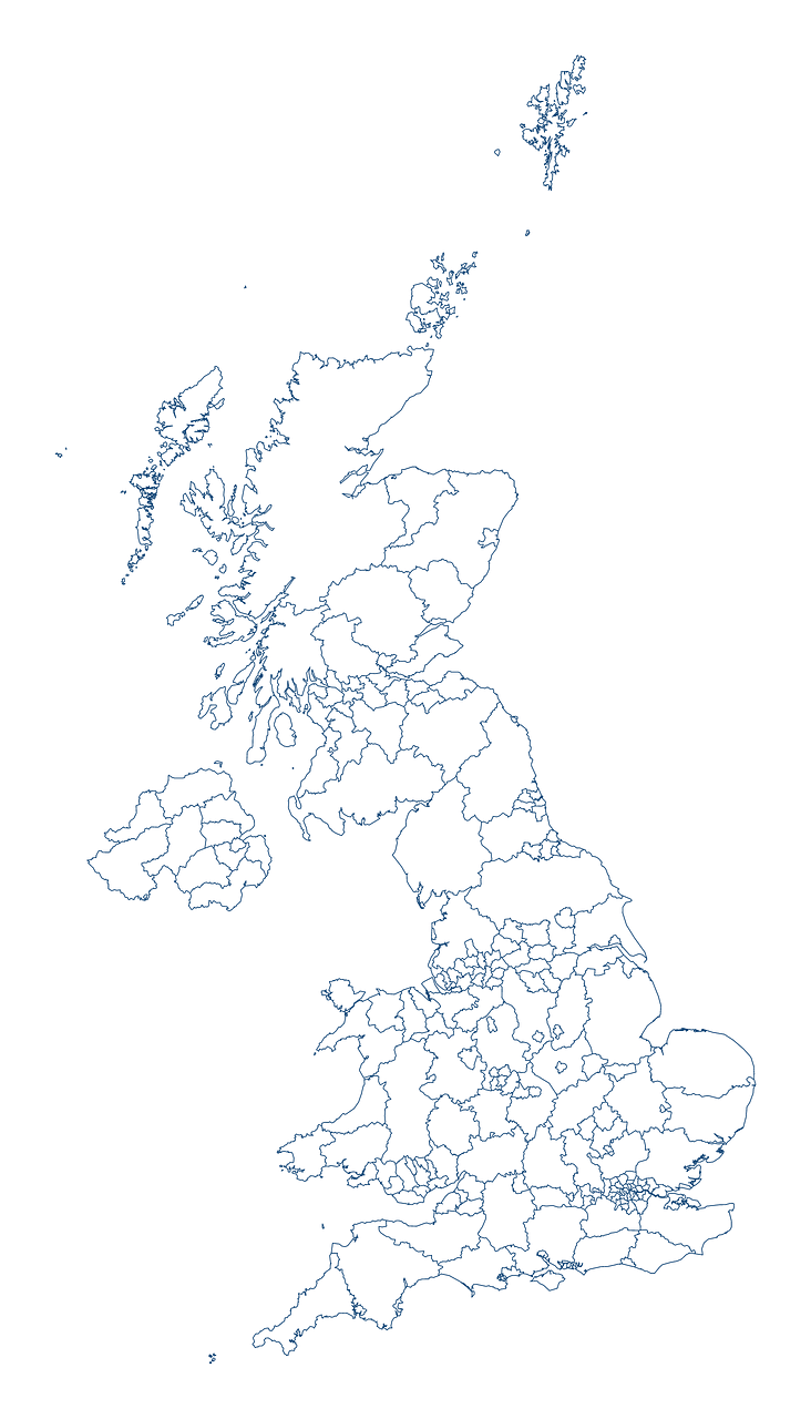
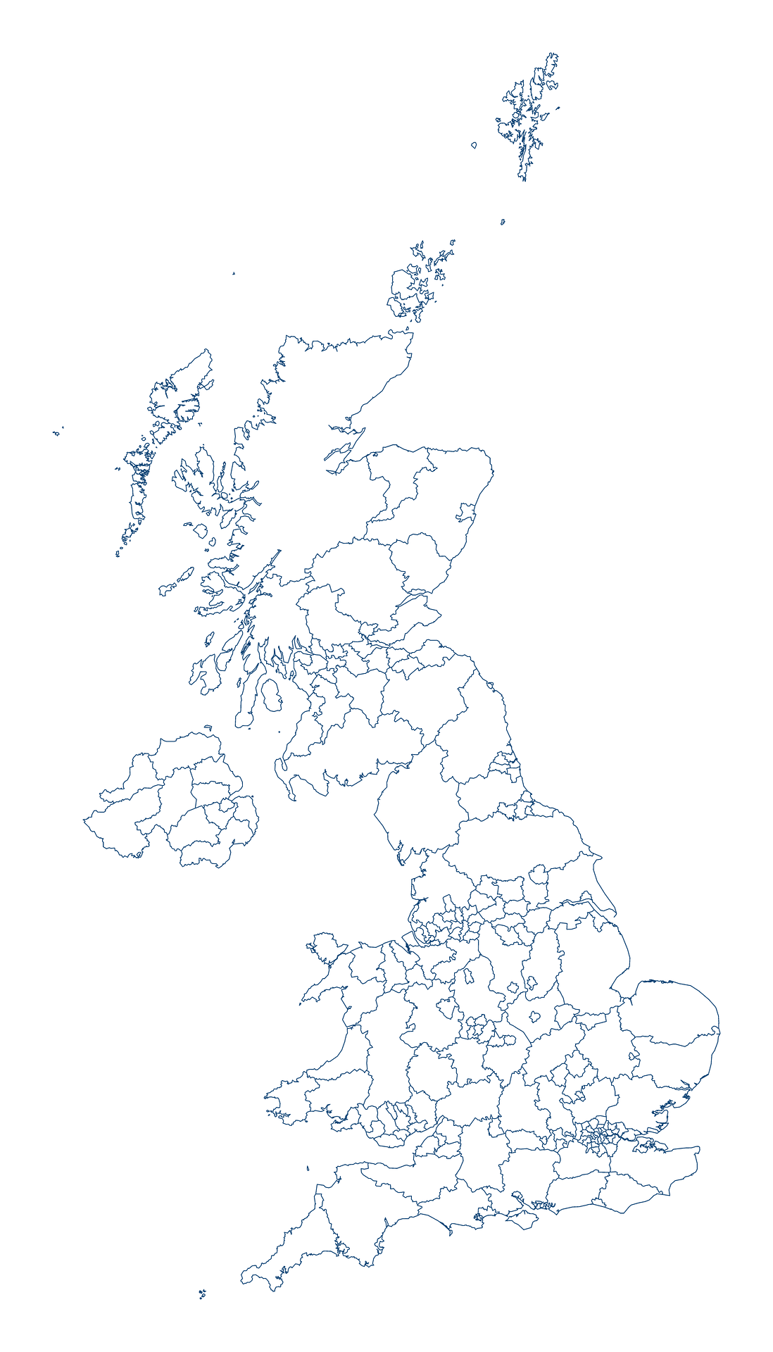
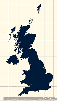
Map #462305
Download map
PNG format
Full (1464x2560)
SVG format
Scalable vector (any size)
Licence
 Licenced under a Creative Commons Attribution 4.0 International Licence
Free to copy and distribute.
Free for commercial and non-commercial use, but you must credit.
Attribution example:
Image source: SuperMap.World
Unlock this map
Access high definition downloads and full-use licence (no attribution required).
Description
Mercator projection map of United Kingdom in dark blue on transparent background
Projection
Location
Similar

#207275🇬🇧 United Kingdom

#237696🇬🇧 United Kingdom
#364314🇬🇧 United Kingdom

#385116🇬🇧 United Kingdom

#408463🇬🇧 United Kingdom

#427850🇬🇧 United Kingdom

#458928🇬🇧 United Kingdom

#606871🇬🇧 United Kingdom