Map #207275

Description

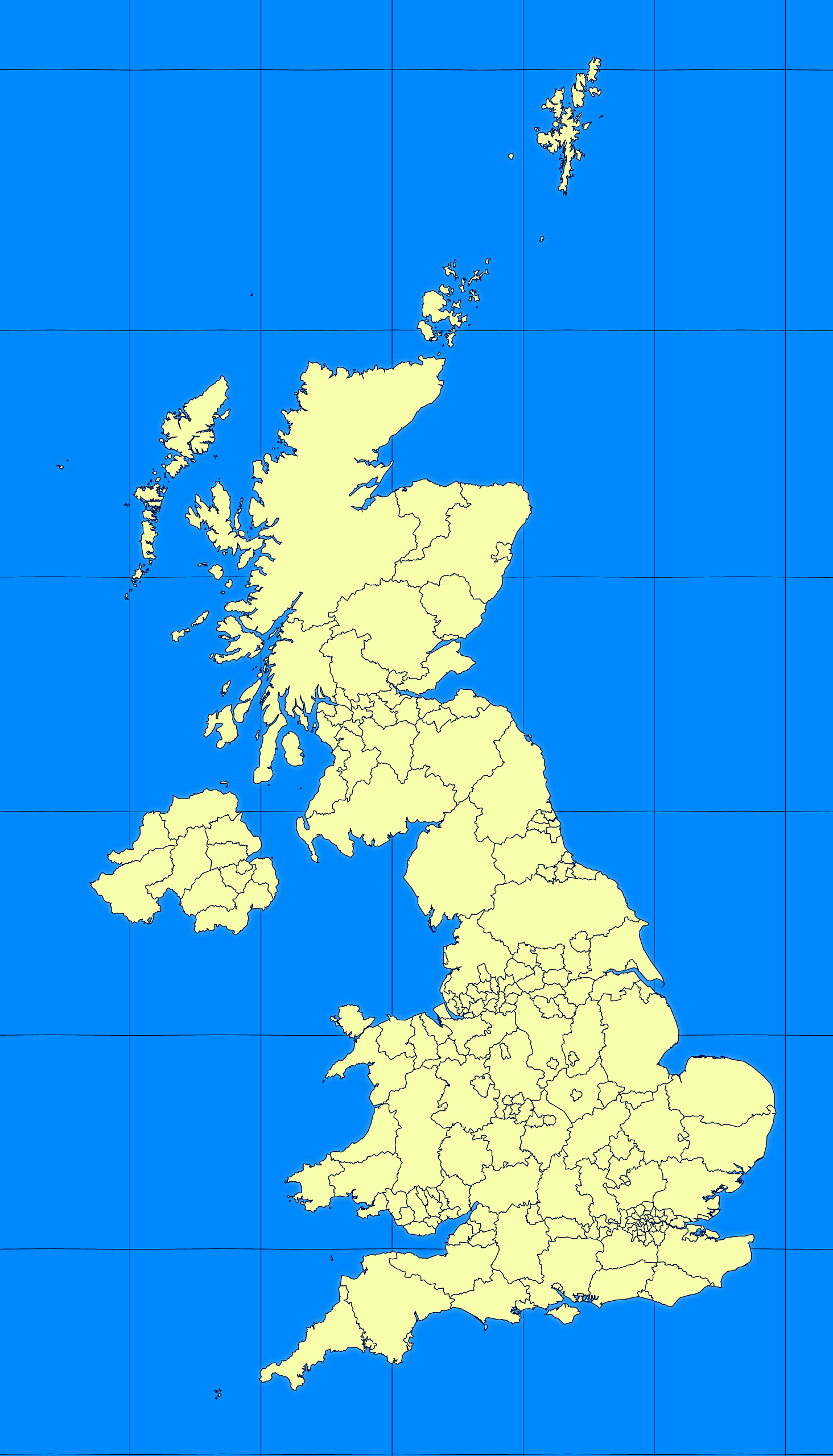
Mercator projection map of United Kingdom in blue and whitened-lime

Palette

Projection

Mercator

Location

United Kingdom

Data source

geoBoundaries, Office for National Statistics Open Geography Portal


Similar

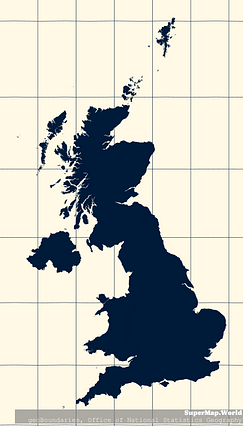
Mercator projection map of United Kingdom in indigo on transparent background

#147636🇬🇧 United Kingdom

Orthographic projection map of the World focused on United Kingdom in night azure and dim indigo

#155173🇬🇧 United Kingdom

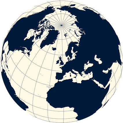
Orthographic projection map of the World focused on United Kingdom in indigo on transparent background

#180271🇬🇧 United Kingdom

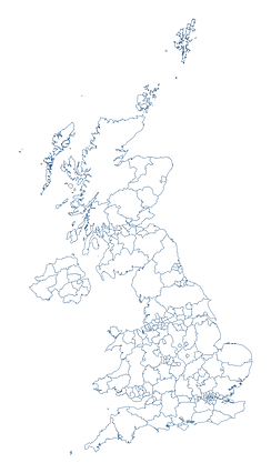
Mercator projection map of United Kingdom showing boundaries in night azure and dim indigo

#288716🇬🇧 United Kingdom

Orthographic projection map of the World focused on United Kingdom in blue and whitened-lime

#408463🇬🇧 United Kingdom

Mercator projection map of United Kingdom showing counties and unitary authorities boundaries in whitened-azure and dim indigo

#577582🇬🇧 United Kingdom

Mercator projection map of United Kingdom showing boundaries in whitened-azure and dim indigo

#847090🇬🇧 United Kingdom

Mercator projection map of United Kingdom showing counties and unitary authorities boundaries in night azure and dim indigo

#892864🇬🇧 United Kingdom