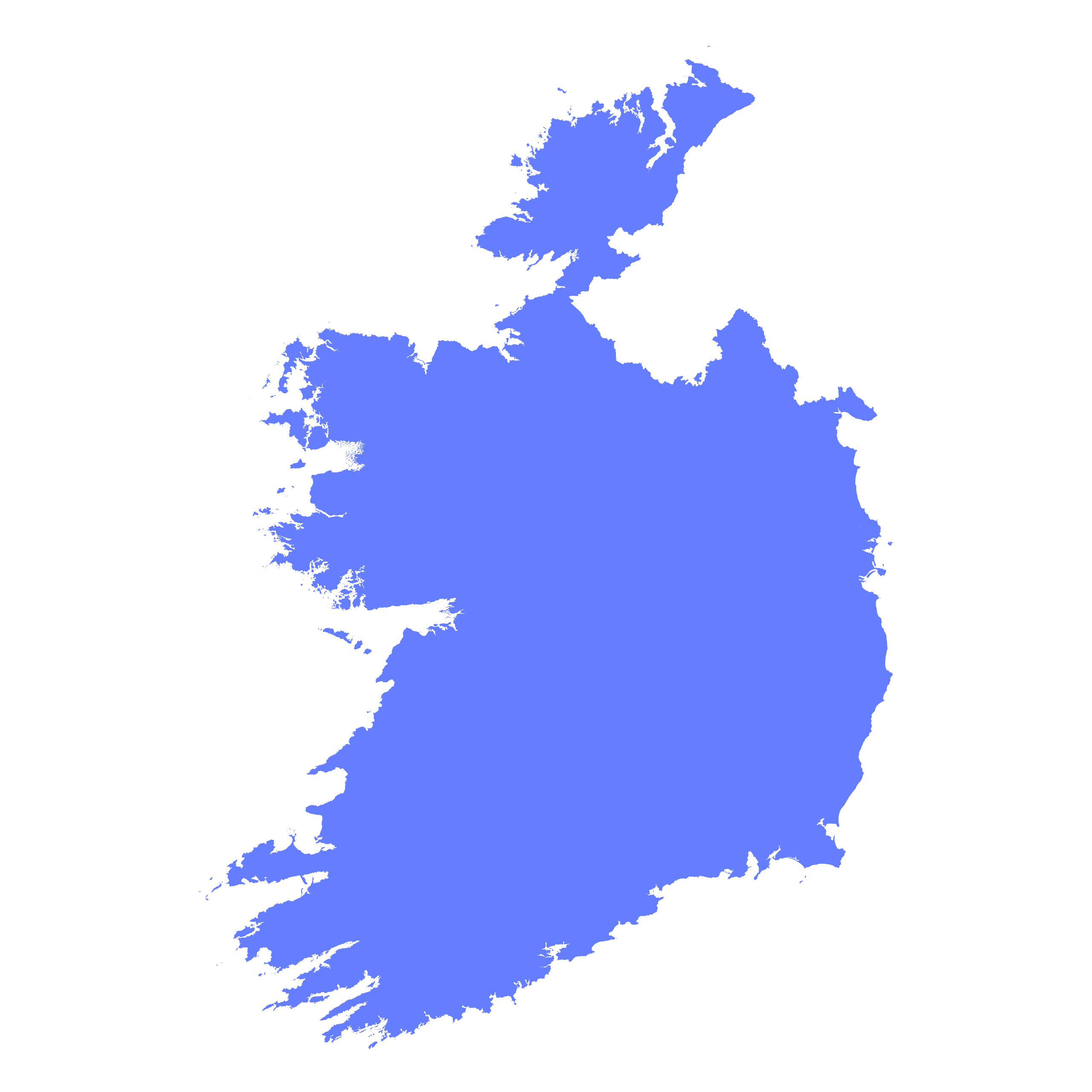
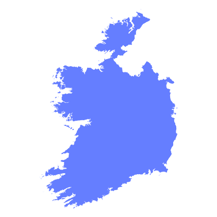
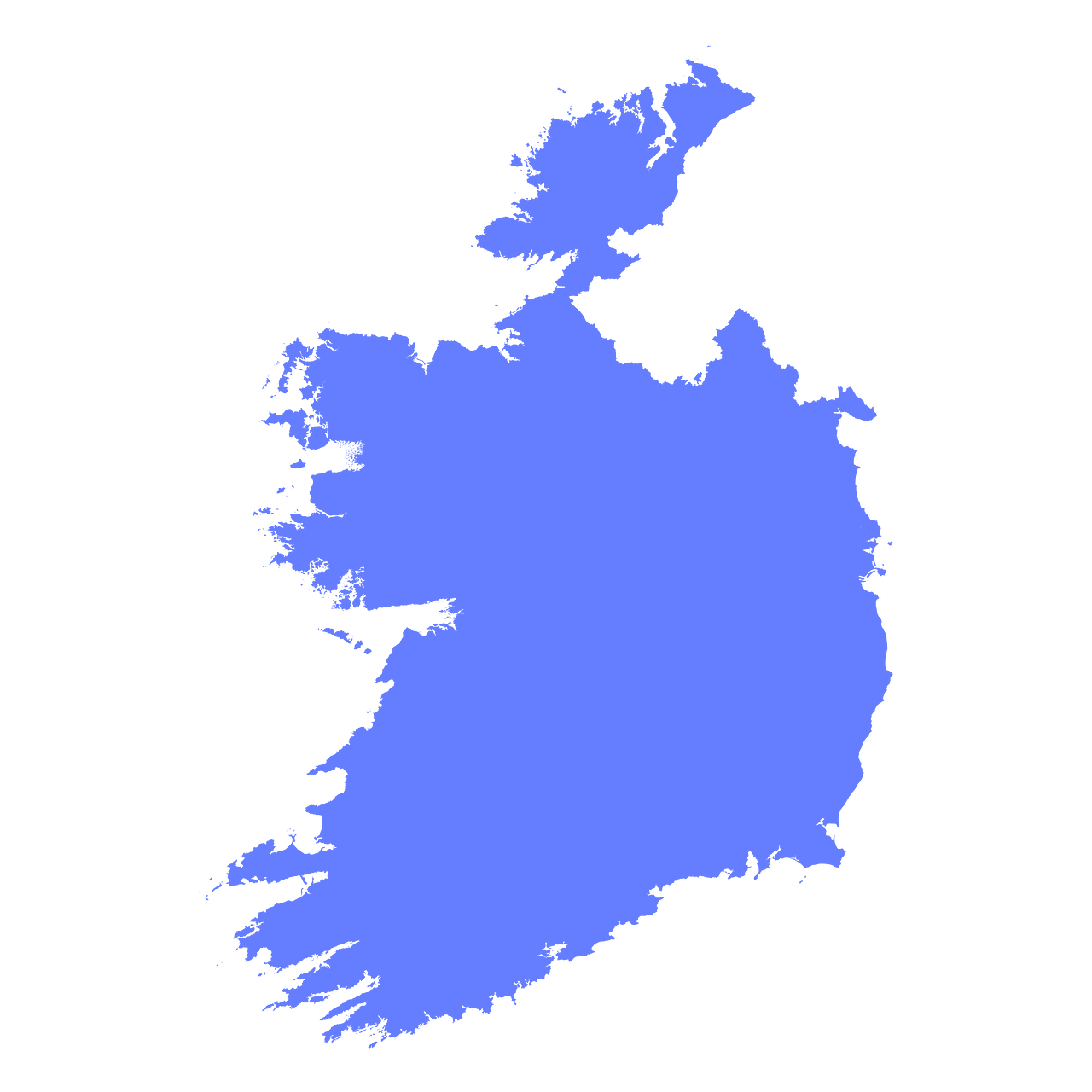
Map #492625
Download map
PNG format
Full (2560x2560)
SVG format
Scalable vector (any size)
Licence
 Licenced under a Creative Commons Attribution 4.0 International Licence
Free to copy and distribute.
Free for commercial and non-commercial use, but you must credit.
Attribution example:
Image source: SuperMap.World
Unlock this map
Access high definition downloads and full-use licence (no attribution required).
Description
Mercator projection map of Ireland in indigo on transparent background
Projection
Location
Data source
Similar

#493693🇮🇪 Ireland

#804331🇮🇪 Ireland

#868125🇮🇪 Ireland

#940983🇮🇪 Ireland

#959209🇮🇪 Ireland