Map #562123

Description

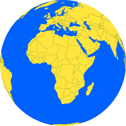
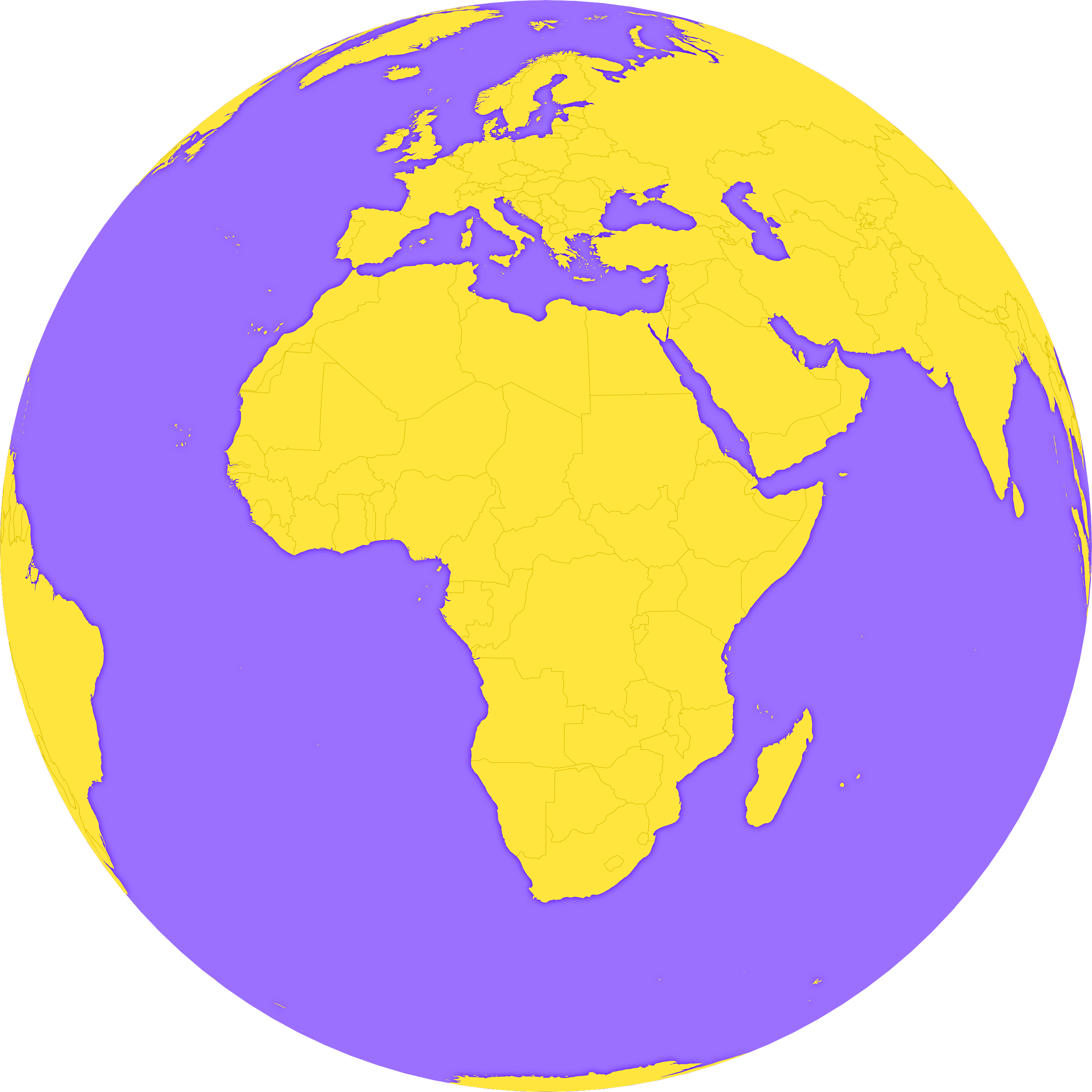
Orthographic projection map of the World focused on Central African Republic in violet and maize-yellow

Colours

Projection

Orthographic

Location

Central African Republic

Data source

Natural Earth


Similar

Mercator projection map of Central African Republic showing prefecture and commune boundaries in violet and maize-yellow

#29436🇨🇫 Central African Republic

Mercator projection map of Central African Republic in dim violet and whitened-chartreuse

#122150🇨🇫 Central African Republic

Orthographic projection map of the World focused on Central African Republic in whitened-azure and dim indigo

#143638🇨🇫 Central African Republic

Mercator projection map of Central African Republic showing sub-prefectures boundaries in whitened-azure and dim indigo

#215030🇨🇫 Central African Republic

Mercator projection map of Central African Republic showing sub-prefectures boundaries in dim violet and dark emerald

#354583🇨🇫 Central African Republic

Mercator projection map of Central African Republic in night violet and whitened-chartreuse

#446987🇨🇫 Central African Republic

Orthographic projection map of the World focused on Central African Republic in dim violet and whitened-chartreuse

#504115🇨🇫 Central African Republic

Mercator projection map of Central African Republic showing prefecture and commune boundaries in whitened-azure and dim indigo

#614102🇨🇫 Central African Republic