Map #696642
Download map
PNG format
Full (2560x2560)
SVG format
Scalable vector (any size)
Licence
 Licenced under a Creative Commons Attribution 4.0 International Licence
Free to copy and distribute.
Free for commercial and non-commercial use, but you must credit.
Attribution example:
Image source: SuperMap.World
Unlock this map
Access high definition downloads and full-use licence (no attribution required).
Description
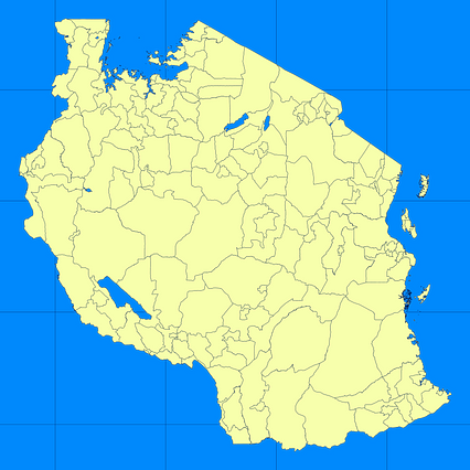
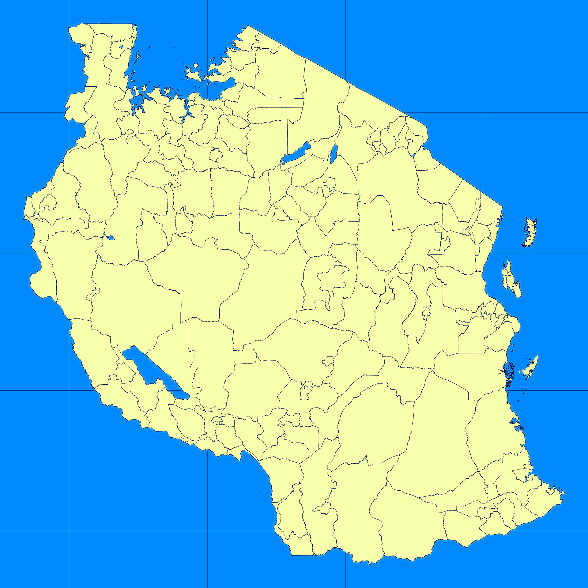
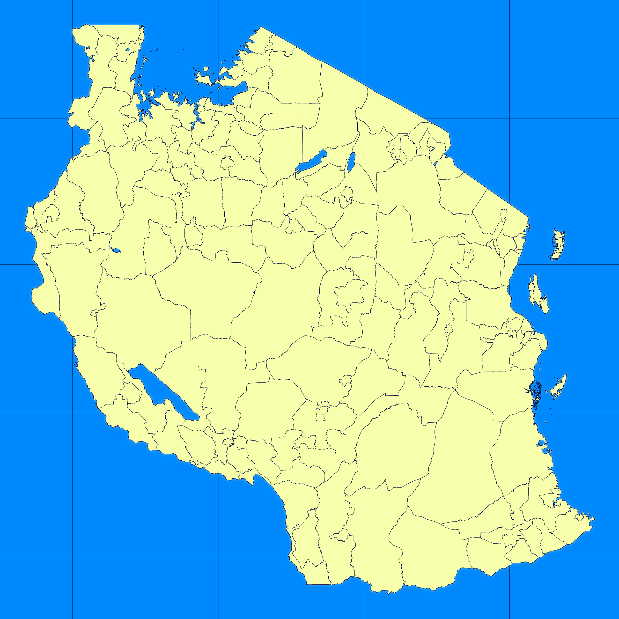
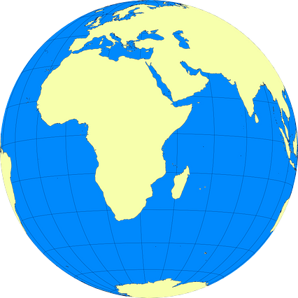
Mercator projection map of United Republic of Tanzania in blue and whitened-lime
Projection
Location
Similar

#84560🇹🇿 Tanzania

#244804🇹🇿 Tanzania

#294414🇹🇿 Tanzania
#303241🇹🇿 Tanzania

#457081🇹🇿 Tanzania

#515904🇹🇿 Tanzania
#596884🇹🇿 Tanzania

#667131🇹🇿 Tanzania