Map #741369

Description

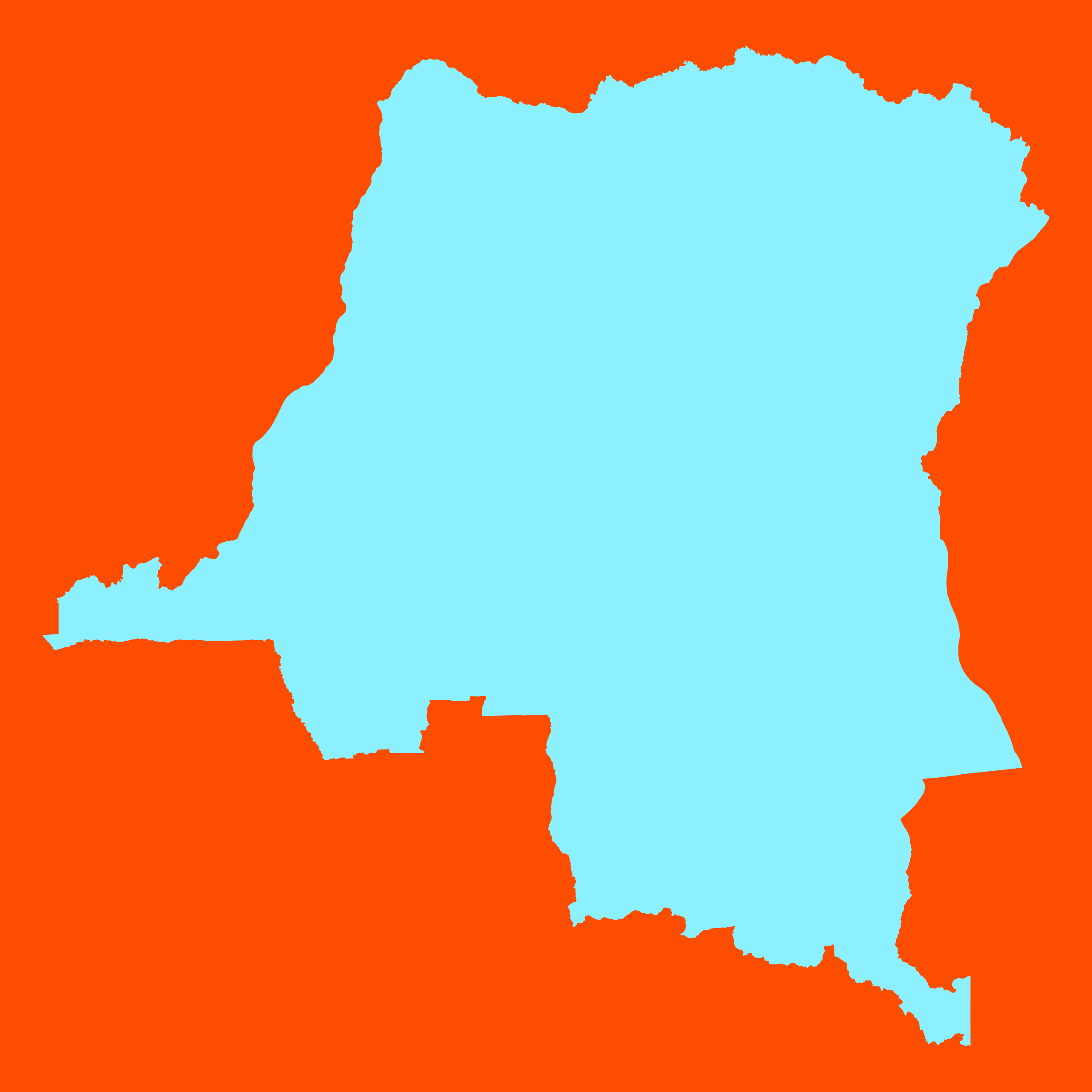
Mercator projection map of Democratic Republic of the Congo in orange and pastel powder

Colours

Projection

Mercator

Location

Congo (Dem. Rep.)

Data source

geoBoundaries, Referenciel GΓ©ographique Commun, OCHA DR Congo


Similar

Orthographic projection map of the World focused on Congo (Dem. Rep.) in night powder and dim cinnamon

#15704πŸ‡¨πŸ‡© Congo (Dem. Rep.)

Mercator projection map of Democratic Republic of the Congo in whitened-cyan and night teal

#27641πŸ‡¨πŸ‡© Congo (Dem. Rep.)

Orthographic projection map of the World focused on Congo (Dem. Rep.) in whitened-powder and chartreuse

#53232πŸ‡¨πŸ‡© Congo (Dem. Rep.)

Mercator projection map of Democratic Republic of the Congo in dim powder on transparent background

#86595πŸ‡¨πŸ‡© Congo (Dem. Rep.)

Mercator projection map of Democratic Republic of the Congo in whitened-powder and chartreuse

#87751πŸ‡¨πŸ‡© Congo (Dem. Rep.)

Mercator projection map of Democratic Republic of the Congo in dim blue and dark powder

#177982πŸ‡¨πŸ‡© Congo (Dem. Rep.)

Mercator projection map of Democratic Republic of the Congo showing provinces boundaries in night powder and dim cinnamon

#319975πŸ‡¨πŸ‡© Congo (Dem. Rep.)

Orthographic projection map of the World focused on Congo (Dem. Rep.) in whitened-sky and dark powder

#584796πŸ‡¨πŸ‡© Congo (Dem. Rep.)