Map #789624
Download map
PNG format
Full (2560x2560)
SVG format
Scalable vector (any size)
Licence
 Licenced under a Creative Commons Attribution 4.0 International Licence
Free to copy and distribute.
Free for commercial and non-commercial use, but you must credit.
Attribution example:
Image source: SuperMap.World
Unlock this map
Access high definition downloads and full-use licence (no attribution required).
Description
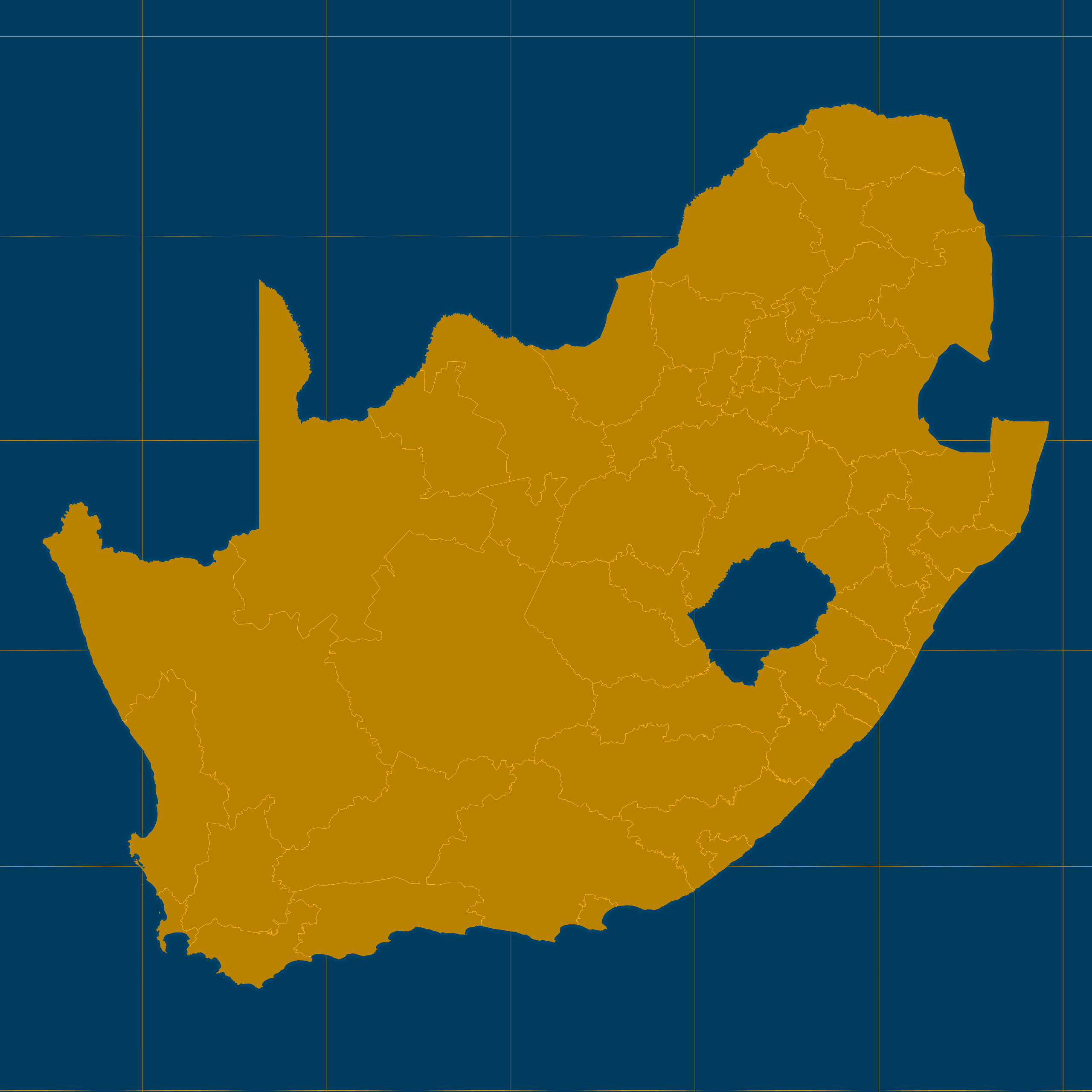
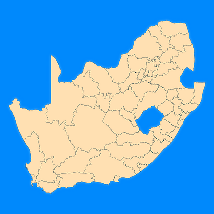
Mercator projection map of South Africa showing district municipality boundaries in amber and dark azure
Projection
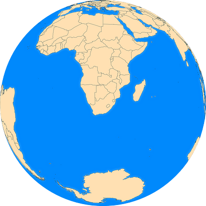
Location
Similar

#77613🇿🇦 South Africa

#93287🇿🇦 South Africa
#119092🇿🇦 South Africa
#189115🇿🇦 South Africa
#380671🇿🇦 South Africa

#392173🇿🇦 South Africa
#614837🇿🇦 South Africa
#807934🇿🇦 South Africa